
PhenoS
Phenological structuring of temporal high resolution Sentinel-2 satellite data sets to improve land cover classifications
Overview
Project summary
The PhenoS project aims on the operational detection of optimal time frames for satellite (especially Sentinel-2) data acqusition to improve agricultural land cover classifications.
Coordination
Martin Luther University Halle - Institute of Geosciences and Geography, Department fo Remote Sensing and Cartography
Research partners
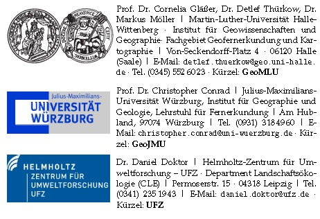
PhenoS Projektpartner
- Homepage Remote Sensing Department, University of Halle
- Homepage Remote Sensing Department, University of Würzburg
- Homepage CLE department of UFZ
Duration
March 2013 - September 2016
Support